
File:Russia edcp location map.svg

Dimenzione de quiste PNG andeprime de quiste SVG file: 800 x 431 pixel. Otre resoluziune: 320 x 173 pixel • 640 x 345 pixel • 1 024 x 552 pixel • 1 280 x 690 pixel • 2 560 x 1 381 pixel • 1 181 x 637 pixel.
File origgenale (Fail SVG, nominalmende sonde 1 181 × 637 pixel, dimenzione d'u fail: 2,59 MB)
Riepileghe
| Descrizione |
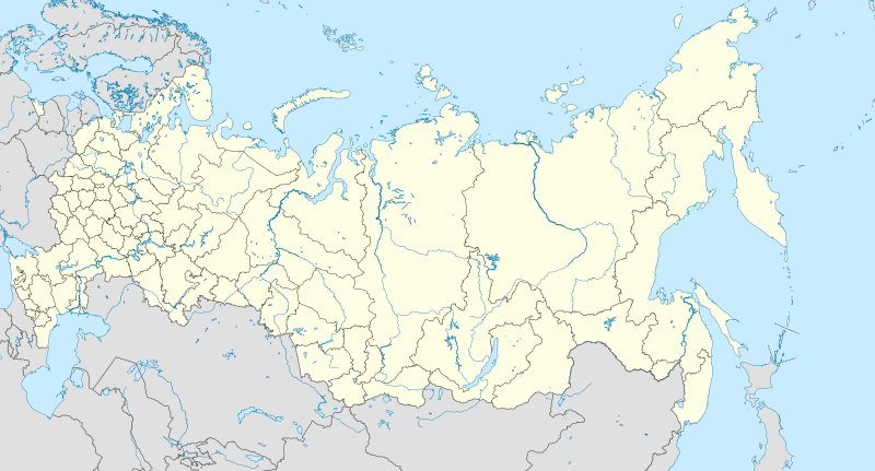
English: Location map of Russia.
EquiDistantConicProjection : Central parallel : * N: 54.0° N Central meridian : * E: 100.0° E Standard parallels: * 1: 49.0° N * 2: 59.0° N Made with Natural Earth. Free vector and raster map data @ naturalearthdata.com. Notice
Russia
other countries
disputed areas
international border
disputed border
Because the southern Kuril islands are claimed by Russia and Japan, they are shown as disputed. For more information about this see: en:Kuril Islands dispute. These islands are since 1945 under the jurisdiction of the Russian Federation. Русский: Схематическая карта России с границами субъектов федерации и водными ресурсами. Коническая равнопромежуточная проекция с центром по 54-й параллели северной широты и 100-му меридиану восточной долготы. На основе данных с сайта Natural Earth (www.naturalearthdata.com).
Особенности:
Условные обозначения:
Россия
другие страны
спорные территории
общепризнанные границы
спорные границы
|
| Date | |
| Sorgende | Fatije proprie |
| Autore | Uwe Dedering |
| Otre versiune |
|

Licenziate da
Ije, 'u titolare d'u copyright de sta fatìe, dichiare de pubblecarle sotte 'a seguende licenze:
Stu file jè licenziate sotte 'a Creatività comune Attribution-Share Alike 3.0 Unported licenze
- Tu si libbere:
- da spartere – pe copià, distribbuì e trasmettere 'a fatìe
- da misckà – pe adattà a 'a fatìe
- Sotte a le condiziune seguende:
- attribbuzione – A dà le credite giuste, 'nu collegamende a 'a licenze e dicere ce onne state fatte de le cangiaminde. Puè farle accumme vuè tu, ma none jndr'à 'nu mode ca suggerisce ca 'u licenziande approve a te e l'ause tune.
- condivide cose simile – Ce tu cange, trasforme o costruisce sus a sta fatìe, tu puè destribbuì 'a fatìe ca ne iesse fore sule sotte a 'a stessa licenze o simile a queste.
cunde
Cazze sus 'na date/orarie pe vedè 'u fail a cumme asseva jndr'à quidde timbe.
| Sciurne/Orarie | Thumbnail | Dimenziune | Utende | Commende | |
|---|---|---|---|---|---|
| corrende | 12:33, 27 Sce 2016 | | 1 181 × 637 (2,59 MB) | Denniss | Reverted to version as of 11:36, 11 July 2015 (UTC) |
| 11:19, 27 Sce 2016 |  | 1 201 × 637 (3,5 MB) | BasilLeaf | Crimea part of the Russia Federation according to the Russian Government. Wikipedia shall remain neutral in all affairs and locator maps of each individual country shall comply with that country's internal rules | |
| 13:36, 11 Lug 2015 |  | 1 181 × 637 (2,59 MB) | Denniss | Reverted to version as of 14:44, 17 August 2014 | |
| 09:24, 11 Lug 2015 |  | 1 201 × 637 (3,5 MB) | Doni Vëntersenz | Crimea is now a part of Russian Federation. | |
| 16:44, 17 Agú 2014 |  | 1 181 × 637 (2,59 MB) | Denniss | Reverted to version as of 20:53, 25 April 2014 - stop revert warring, it's clearly states this map is showing Kuril islands as disputed | |
| 16:01, 17 Agú 2014 |  | 1 181 × 637 (2,86 MB) | Nicolay Sidorov | Reverted to version as of 23:14, 6 July 2012 - спорный статус Курильских островов | |
| 22:53, 25 Abb 2014 |  | 1 181 × 637 (2,59 MB) | Denniss | Reverted to version as of 16:09, 11 April 2014 | |
| 21:38, 25 Abb 2014 |  | 1 201 × 637 (3,5 MB) | Логаритам | Reverted to version as of 15:44, 11 April 2014 and what? | |
| 18:09, 11 Abb 2014 |  | 1 181 × 637 (2,59 MB) | NordNordWest | Reverted to version as of 15:33, 11 April 2014; please don't destroy all templates which are using this map | |
| 17:44, 11 Abb 2014 |  | 1 201 × 637 (3,5 MB) | NoviSadGrad |
Ause d'u file
5 ste pàggene appondene a stu fail:
Ause d'u file globale
Le seguende Uicchi ausane stu file:
- Ause sus a af.wikipedia.org
- Oimjakon
- Moskouse Kremlin
- Drie-eenheid-klooster van Sint Sergius
- Rooiplein
- Kolomenskoje
- Nowodewitsji-klooster
- Wit Monumente van Wladimir en Soezdal
- Ferapontof-klooster
- Vulkane van Kamtsjatka
- Kazanse Kremlin
- Goue Berge van Altai
- Solowjetski-klooster
- Sjabloon:Liggingkaart Rusland
- Tsjeko-meer
- Wladiwostok Internasionale Lughawe
- Bulgar
- Poetoranaplato
- Koerilemeer
- Ause sus a als.wikipedia.org
- Ause sus a ar.wikipedia.org
- Ause sus a ast.wikipedia.org
Vide ause globale de stu file.