
File:Relief Map of Germany.svg

File origgenale (Fail SVG, nominalmende sonde 1 073 × 1 272 pixel, dimenzione d'u fail: 6,54 MB)
Riepileghe
| Descrizione |
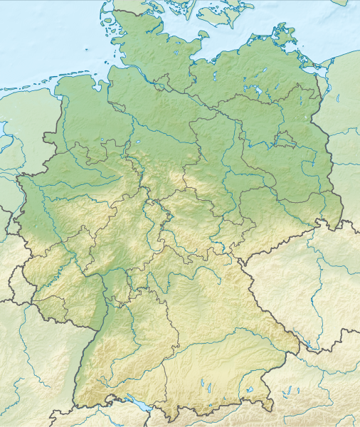
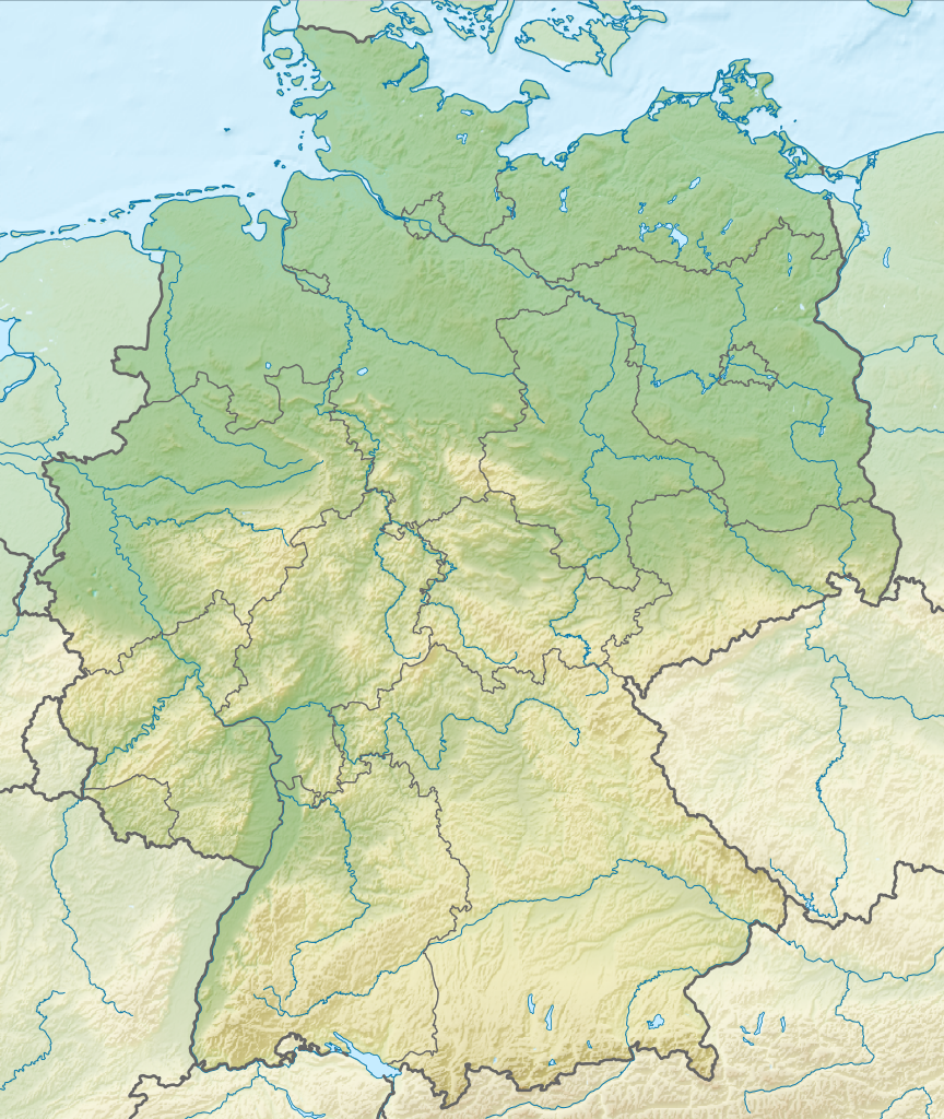
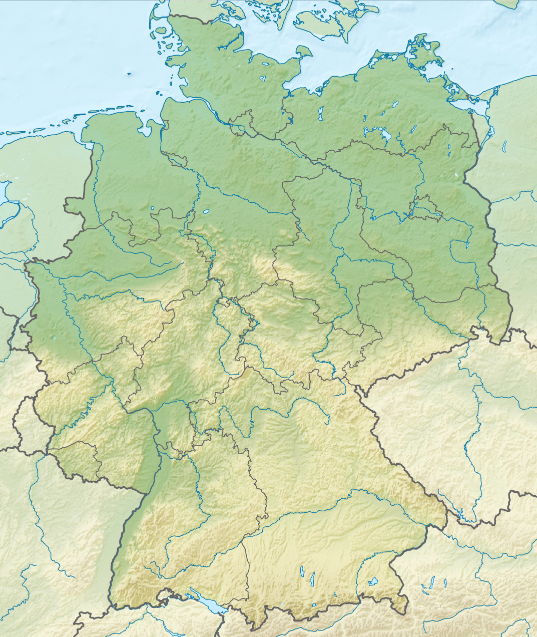
Deutsch: Positionskarte von Deutschland mit Gewässern
Quadratische Plattkarte, N-S-Streckung 150 %. Geographische Begrenzung der Karte:
English: Location map of Germany with waterbodies
Equirectangular projection, N/S stretching 150 %. Geographic limits of the map:
|
| Date | |
| Sorgende |
Fatije proprie Questa immagine vettoriale include elementi che sono stati presi o adattati da questa: Questa immagine vettoriale include elementi che sono stati presi o adattati da questa: |
| Autore |
TUBS |
| Otre versiune |
Bundesrepublik Deutschland (vor 1990 nur West-Deutschland):
Deutsche Demokratische Republik (mit BRD im Ausschnitt):
Ostdeutschland (vor 1990 Deutsche Demokratische Republik):
Deutschland zwischen Mai 1945 und Oktober 1949:
Thematisch:
Deutsches Reich (1918–1945) (best used with this template (de)):
|
| SVG sviluppo | Il codice sorgente di questo grosso file SVG non è valido a causa di 14 errori. Questa grossa mappa in grafica vettoriale non valida secondo il W3C è stata creata con Adobe Illustrator. |


_23_May_1949_-_6_Oct_1949.svg)


_location_map.svg)
_location_map_2013.svg)


Licenziate da
- Tu si libbere:
- da spartere – pe copià, distribbuì e trasmettere 'a fatìe
- da misckà – pe adattà a 'a fatìe
- Sotte a le condiziune seguende:
- attribbuzione – A dà le credite giuste, 'nu collegamende a 'a licenze e dicere ce onne state fatte de le cangiaminde. Puè farle accumme vuè tu, ma none jndr'à 'nu mode ca suggerisce ca 'u licenziande approve a te e l'ause tune.
- condivide cose simile – Ce tu cange, trasforme o costruisce sus a sta fatìe, tu puè destribbuì 'a fatìe ca ne iesse fore sule sotte a 'a stessa licenze o simile a queste.

|
I'd greatly appreciate, that you attribute this media file to Wikimedia Commons, if used outside Wikipedia or Commons. For use in publications such as books, newspapers, blogs, websites, please insert here the following line:
|
cunde
Cazze sus 'na date/orarie pe vedè 'u fail a cumme asseva jndr'à quidde timbe.
| Sciurne/Orarie | Thumbnail | Dimenziune | Utende | Commende | |
|---|---|---|---|---|---|
| corrende | 16:00, 1 Dec 2011 | | 1 073 × 1 272 (6,54 MB) | TUBS |
Ause d'u file
2 ste pàggene appondene a stu fail:
Ause d'u file globale
Le seguende Uicchi ausane stu file:
- Ause sus a an.wikipedia.org
- Ause sus a ar.wikipedia.org
- Ause sus a ast.wikipedia.org
- Ause sus a az.wikipedia.org
- Ause sus a ban.wikipedia.org
- Taman Nasional Swiss Saxon
- Taman Nasional Hunsrück-Hochwald
- Taman Nasional Eifel
- Taman Nasional Hainich
- Taman Nasional Kellerwald-Edersee
- Taman Nasional Harz
- Taman Nasional Lebah Oder Sor
- Taman Nasional Müritz
- Taman Nasional Wawengkon Laguna Pomerania Kawan
- Taman Nasional Jasmund
- Taman Nasional Segara Wadden Saxon Sor
- Danu Laacher
- Ause sus a ba.wikipedia.org
- Ause sus a be.wikipedia.org
Vide ause globale de stu file.